


Signaling
The constituent elements of the signaling of the waterway and the fluvial domain, namely the various regulatory signals.
The prohibitions
Prohibition signs are usually bordered in red with a diagonal also red. Except the sign of prohibition to pass and the sign to pass outside the indicated area.


Slideshow :
The obligations
The obligation signs are also edged in red but without diagonal.


Slideshow :
The restrictions
Restriction signs are also bordered in red and not diagonally.


Slideshow :
The indications
On these signs the indications are white on a blue background, except the general signal, authorization to pass.


Slideshow :
The recommendations
The recommendations are in color on a white background, except the recommendation to pass.


Slideshow :
The prohibitions
Prohibition signs are usually bordered in red with a diagonal also red. Except the sign of prohibition to pass and the sign to pass outside the indicated area.
Slideshow :
The obligations
The obligation signs are also edged in red but without diagonal.
Slideshow :
The restrictions
Restriction signs are also bordered in red and not diagonally.
Slideshow :
The indications
On these signs the indications are white on a blue background, except the general signal, authorization to pass.
Slideshow :
The recommendations
The recommendations are in color on a white background, except the recommendation to pass.
Slideshow :

Regulations
The General Police Regulations for Inland Navigation (RGPNI).
The new RGPNI came into force on September 1, 2014. It is a complete overhaul of the previous police regulations, the provisions of which, mostly unchanged since the 1970, have been harmonized. with the recommendations of the European Code of Inland Waterways (CEVNI) and adapted to the new practices of river navigation. This collection responds in particular to the obligation to have on board (if applicable in electronic format), for the boats concerned, an updated version of the RGPNI under Article R. 4241-31 of the Transport Code. You can download it by clicking on the image below.
The new RGPNI came into force on September 1, 2014. It is a complete overhaul of the previous police regulations, the provisions of which, mostly unchanged since the 1970, have been harmonized. with the recommendations of the European Code of Inland Waterways (CEVNI) and adapted to the new practices of river navigation. This collection responds in particular to the obligation to have on board (if applicable in electronic format), for the boats concerned, an updated version of the RGPNI under Article R. 4241-31 of the Transport Code. You can download it by clicking on the image below.
Download the RGPNI
The Special Police Regulations (RPP)
Find the specific inland navigation police regulations on the Voie Navigable de France (VNF) website.
Find the specific inland navigation police regulations on the Voie Navigable de France (VNF) website.
Link to the Voie Navigable de France
publications site
You will find all the RPPs but also all the publications concerning the waterways managed by VNF.

publications site
You will find all the RPPs but also all the publications concerning the waterways managed by VNF.
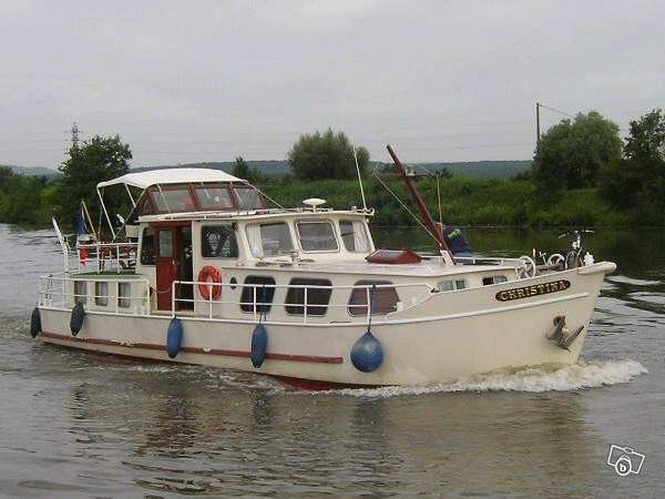
River boating sticker
A navigation sticker is mandatory to navigate on the public river domain managed by VNF. You will find the prices for this sticker by clicking on the image below.

You can get your sticker directly from the VNF website by following the link below
Buy your sticker on the VNF website
A navigation sticker is mandatory to navigate on the public river domain managed by VNF. You will find the prices for this sticker by clicking on the image below.
You can get your sticker directly from the VNF website by following the link below
Buy your sticker on the VNF website


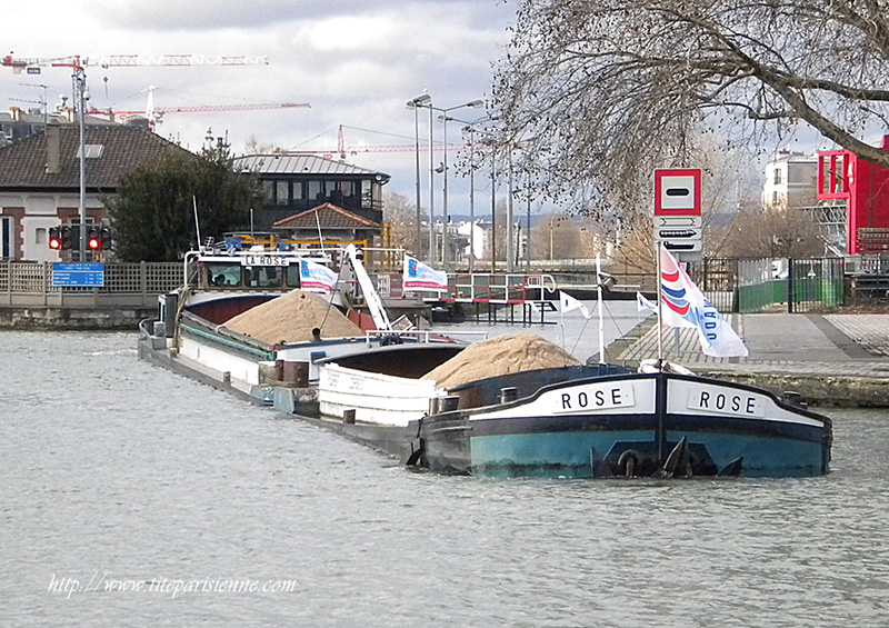
River guides
Notices to skippers
To consult when preparing for the trip The notices to the skippers
concerning you can be found on the VNF website. Click on the image below.

To consult when preparing for the trip The notices to the skippers
concerning you can be found on the VNF website. Click on the image below.
The markup guide
To review and have all the official explanations on hand. To get it Click on the image below.

To review and have all the official explanations on hand. To get it Click on the image below.

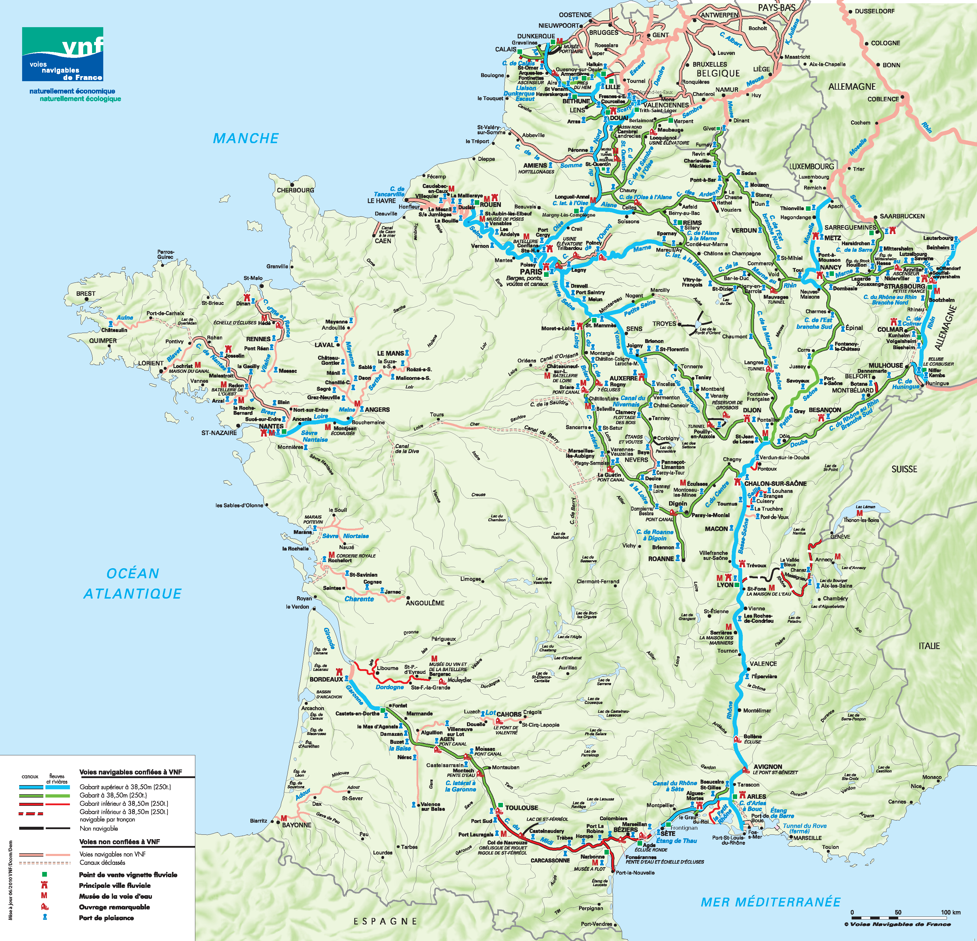
Kit cartographique des voies navigables par bassin
Outil incontournable pour les acteurs de la logistique fluviale, ce kit cartographique est composé d’une collection de cartes du réseau des voies navigables français, avec un découpage par bassin ou zone géographique. Ces cartes vous fourniront toutes les informations utiles et détaillées sur les gabarits de voie et dimensions des bateaux, les ouvrages de navigation présents sur le réseau ou encore les ports et équipements à quais disponibles.
Bassin de la Seine
Bassin du Nord Pas de Calais
Bassin du Nord-Est et Rhin
Bassin Rhône Saône
Bassin Sud-Ouest
Ces données sont susceptibles d’être modifiées par avis à la batellerie. VNF vous invite à contacter ses directions territoriales pour plus d’informations.
CONTACT
You want to know more ? You can contact us by this form.
CONTACT ADDRESS
contact@plaisancefluviale.fr
Tél : 04 86 63 54 17
rue Jean Charcot
13200 ARLES
contact@plaisancefluviale.fr
Tél : 04 86 63 54 17
rue Jean Charcot
13200 ARLES
SEND
©2016 - OPENELEMENT. TEMPLATE réalisé par Gil